 Guide On Map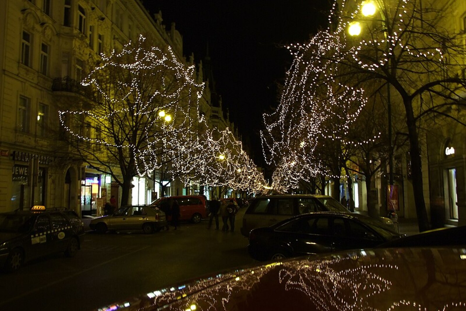
Look around first
What to notice
- The straight line of Pařížská Street
- The broad roadway
- Income-producing apartment buildings with shops
- Čech Bridge
The story of the place
Pařížská Street cuts through the old fabric of Josefov in a broad straight line: from Old Town Square it leads to the Vltava and ends at Čech Bridge. On both sides stand large income-producing apartment buildings with shops on the ground floors, designed for the new city center. Its route is assembled from parts of Masná Street, Hřebenová Street, Stará Poštovní Street, and other short streets whose names recalled the occupations of the people who lived here. Prague's planners took French boulevards as their model, which is why the street received its Parisian name.
In March eighteen eighty-five, Prague's chief city physician, Jindřich Záhoř, came to a meeting of the sanitation council with a proposal to demolish Josefov and the neighboring quarters and build a new district on the cleared land. He pursued this for quite tangible things: a water supply, sewers, dry basements, and streets that would receive light and air. The low bank of the Vltava flooded regularly, clean water was scarce, and the houses stood closer together than their height allowed.
By then, Josefov had already ceased to be a Jewish ghetto. After permission was granted to settle in other parts of Prague, well-off Jewish families moved away from here; by eighteen eighty-nine, Jews made up only about one-tenth of the district's residents. The poorest people of Prague occupied the rooms left vacant. Half of the local residents were subtenants or paid only for a night's lodging. Many rooms housed three or more people. Some got by on casual work; others kept shops selling secondhand goods. For such a trader, an address was part of earning a living, while for a lodger, a rented corner could be the only roof overhead.
After Záhoř's proposal, the city announced a competition for a new plan. The team of Alfred Hurtig, who served as the city surveyor, won: he earned his living measuring plots and drawing boundaries on maps. The project was called “The End of the Ghetto.” Hurtig drew a straight, twenty-four-meter-wide street from Old Town Square to the Vltava. The old lanes and property boundaries did not conform to this line, so they were meant to be removed along with the houses.
Drawings alone were not enough for demolition. In eighteen ninety-three, the city obtained the right, for ten years, to compulsorily purchase real estate. At the same time, owners of new houses were promised a twenty-year exemption from tax on rental income. The threat of expropriation forced many owners to sell their plots without a formal procedure, while the tax break attracted developers. Valuation and compensation were discussed with owners; tenants had to move out before the demolition crews arrived.
Demolition began in eighteen ninety-six right here, where the future avenue would emerge onto Old Town Square. Within the asanace—the term used for improving the city's health through demolition and complete reconstruction—about six hundred buildings in Josefov and the adjacent parts of Old Town disappeared. In place of cheap rooms, workshops, and shops, large income-producing apartment buildings were constructed, with shops on the ground floors. The straight street was extended to the Vltava, and at the beginning of the twentieth century Čech Bridge was built along the same line. Builders never did cut through the intended continuation across Letná.
The street received its present name in nineteen twenty-six. It was called Pařížská Street because Prague's planners took broad French boulevards as their model. This sign does not mark one old predecessor street: beneath the straight line of Pařížská Street lie parts of the former Masná Street, Hřebenová Street, Stará Poštovní Street, and other small lanes. Their names belonged to the occupations of the people who lived here; the lanes themselves disappeared before a Prague boulevard bearing the name of Paris appeared here.
Useful on site
Open city street; the façades are best read above shopfront level.
Checked: June 26, 2026. Check the official source before visiting.Compare the perspective from the sidewalk, and cross the street only at designated places. There is no single memorial object here: the meaning of the stop is revealed through scale and empty spaces.