 Guide On Map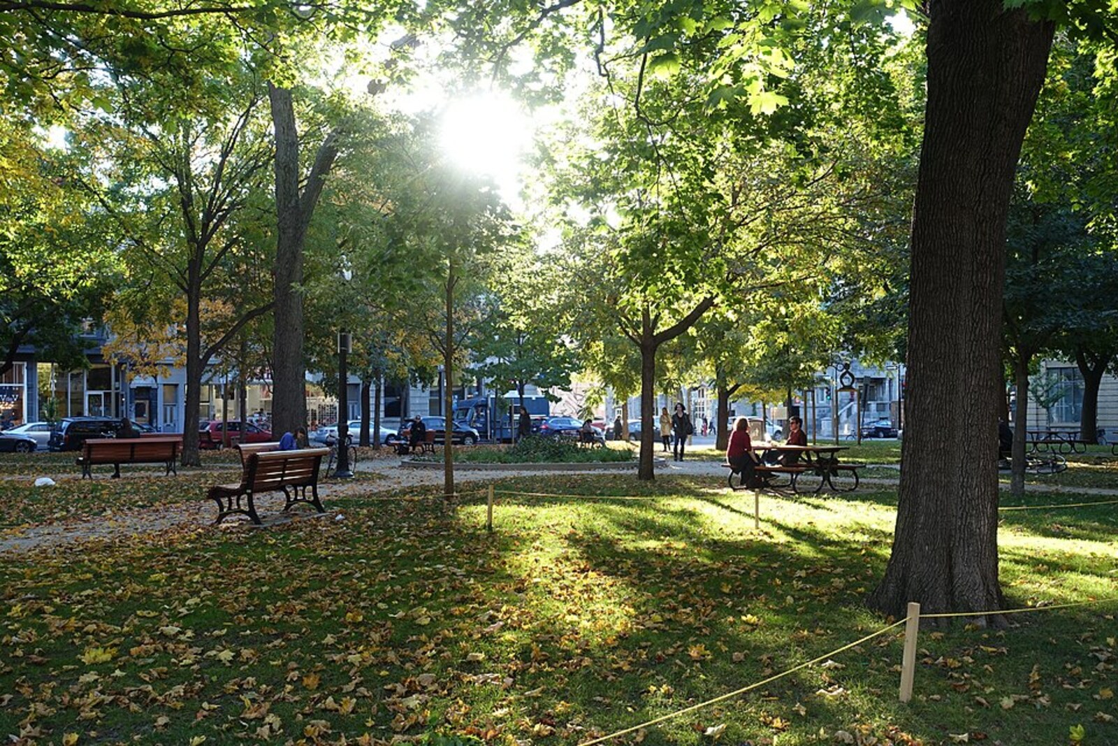
Look around first
What to notice
- The public park's lawns
- Paths
- The façade of the church opposite
The story of the place
Lawns and paths occupy a small park opposite the church façade. Before the surrounding block development, marshy fields cut through by limestone quarries lay here. Across the street, a school, a chapel, and an institution for teaching deaf boys first operated, and a permanent parish later took shape. Streets were laid out and lots divided around this core, so that the church, school, and green space became the center of a separate village.
In eighteen seventy-five, the landowner and entrepreneur Louis Beaubien transferred this plot to the municipality on behalf of his father. In the agreement, he stipulated one condition: the land could be used only as a public space. Beaubien gave up a site he could have divided into building lots, even though he made his living from the family holdings—breeding pedigree livestock and horses, laying out streets, and selling land for development.
This gift was part of a plan begun by his father Pierre Beaubien, a Montreal doctor and major landowner. The family owned the marshy fields here and plots cut through by limestone quarries. Pierre expected Montreal to grow northward along Saint-Laurent Boulevard. For people to agree to settle far from the city as it then stood, they needed a local center.
In eighteen forty-eight, Pierre gave the diocese the land opposite the future park. A building was first constructed there for a school, a chapel, and an institution where deaf boys were taught. The bishop then entrusted a French community of priests and teachers—the Clerics of Saint Viator—with establishing a permanent parish.
François-Théophile Lahaie, the first local priest, took on the main work, pressing for the construction of a proper church. Its first stone was laid in June eighteen fifty-seven, and at Christmas the following year Lahaie celebrated the first Mass in the new building. On March third, eighteen sixty-one, he finished his Sunday sermon, began to descend from the pulpit, and died of a heart attack. After his death, the parish was in such difficulty that its administration had to be transferred for several years to Montreal's Notre-Dame Seminary.
Louis Beaubien continued the family plan. He set aside land in front of the church for a public garden, and divided the surrounding holdings into streets and lots. The church, school, and public institutions were concentrated here. Three years later, the western part of Côte-Saint-Louis separated into the independent village of Saint-Louis-du-Mile-End; it later received city status and became part of Montreal in nineteen ten.
The city officially established the name “Lahaie Park” in nineteen ninety-seven in memory of the first priest. His remains rest in the later part of the church opposite. Lawns and paths occupy land that the Beaubien agreement had designated for public use as early as eighteen seventy-five.
Useful on site
Daily 6:00–0:00 according to the city page; a drinking fountain and picnic area are listed. Charcoal and fuel barbecues are prohibited; only propane or butane are permitted under the park rules.
Checked: June 30, 2026. Check the official source before visiting.The point of this stop is visible from publicly accessible paths; there is no need to leave them to look for the vanished stream or the old road.