 Guide On Map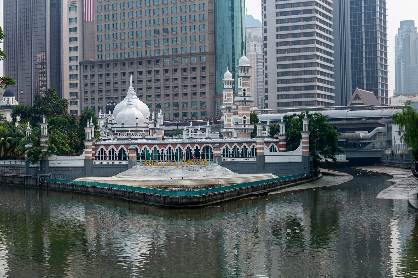
Look around first
What to notice
- The concrete channels of the Klang River and the Gombak River
- The line of the confluence
- The River of Life waterfront
The story of the place
The Klang-Gombak confluence is now enclosed in concrete channels, with the River of Life promenade running along the water. The low east bank went under water during downpours, so the first buildings were put up a little above the river's edge. The buildings themselves have long been gone, but even now, in this narrow corner, you can see how the two rivers merge into one channel.
In eighteen fifty-seven, Raja Abdullah, the head of Klang District, borrowed money from Chinese merchants in Malacca to open tin mines near Ampang. He hired eighty-seven Chinese prospectors in Lukut and sent them upstream along the Klang River. Heavy boats carrying people, rice, and tools reached this confluence and could go no farther. Everything was unloaded here onto the east bank, where the trail to the mines began. The mines also lay east of the Klang River, so there was no need to cross the river again.
The prospectors did not come here to found a city. They were paid to search for and mine tin in Ampang. Many members of the first party died of disease, and the enterprise had to be started over. Raja Abdullah sent another one hundred fifty people. Two years later, the mines yielded tin, which was taken back by the same route: along the trail to the confluence, then downstream on boats along the Klang River.
Sutan Puasa, a Mandailing merchant, supplied the Ampang prospectors and wanted to establish permanent trade at the transshipment point. Around eighteen fifty-nine, he persuaded two of his suppliers from Lukut, Hiu Siew and Yap Ah Sze, to move here. Both were Hakka, jointly owned a mine, and made their living selling supplies. They cleared a plot and put up several huts, where they sold food and equipment to new arrivals and collected tin for shipment to the sea.
The exact location of the first shops can no longer be established. Historians place them on the east bank of the Klang River, a little above the water, near the future Market Square: the low bank flooded during downpours. The choice proved fortunate. The flow of prospectors grew, and new houses and warehouses appeared around the trading post. Hiu Siew was recognized as the first Chinese kapitan—the head of the settlement and an intermediary in negotiations with the Malay district head. He died as early as eighteen sixty-one. Ah Sze expanded the trade and eventually became one of Selangor's wealthiest merchants.
The settlement's name became established later, and it is less certain. In Malay, “kuala” means a place where a river flows into the sea or another river, while “lumpur” means mud or silt. Hence the familiar translation: “muddy confluence.” But the Gombak River already bore its current name, so by the usual rule the point should have been called Kuala-Gombak. Old documents give no unambiguous answer. Researchers also find references to the vanished Sungai Lumpur, which flowed into the Klang River farther upstream. The connection between the capital's name and this particular branching point remains an accepted urban version, rather than a proven origin of the name.
The first huts have not survived. Today, the Klang River and the Gombak River flow through concrete channels, and the River of Life promenade has been created at the confluence. The spatial relationship itself remains unchanged: downstream of the meeting point, the water route toward Klang and the sea began; eastward, the overland road led to the tin mines. It was here that boat cargo became pack cargo, and several trading huts became a permanent settlement.
Useful on site
Open urban space by the waterfront. Morning and late afternoon are more comfortable than midday; after heavy rain, the pavement and water level require caution.
Checked: June 30, 2026. Check the official source before visiting.Listen to the story by the railing and do not go down to the water; the current and river levels may change after rain.